Having spent a cool night on the crater rim, you walk for four hours towards the Maasai town of Nayobi, around the Empakaai crater rim and then meandering around the upper ridges of the escarpment, along an infrequently used, hot and at times very dusty (or muddy) track.

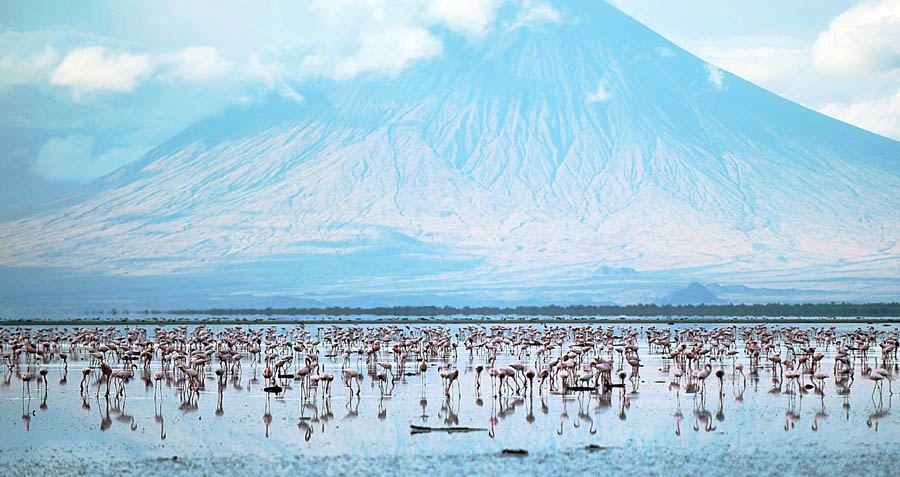
This day-and-a-half trek starts on the narrow ridge between the remarkable Empakaai Crater, a collapsed volcano nestling a blue soda lake ringed by tens of thousands of flamingos some 300m below the rim, and the 1,500m drop-off down to the Rift Valley floor.

The Gregory's Rift escarpment forms the western side of the northern Tanzanian section of Africa's great Rift Valley at the centre of this is the extraordinary Avenue of Volcanoes, and at the centre of that is the perfect cone of the 2,878m Ol Doinyo Lengai, the remaining active volcano in the area.


 0 kommentar(er)
